
Tbd Cr 235 , BROOKER, FL 32622


Property Photos
Would you like to sell your home before you purchase this one?
Priced at Only: $549,900
For more Information Call:
Address: Tbd Cr 235 , BROOKER, FL 32622
Property Location and Similar Properties
- MLS#: GC535910 ( Land )
- Street Address: Tbd Cr 235
- Viewed: 5
- Price: $549,900
- Price sqft: $0
- Waterfront: No
- Year Built: Not Available
- Bldg sqft: 0
- Days On Market: 2
- Additional Information
- Geolocation: 29.9329 / -82.2958
- County: BRADFORD
- City: BROOKER
- Zipcode: 32622
- Provided by: RE/MAX PROFESSIONALS
- Contact: Danette Drageset
- 352-375-1002

- DMCA Notice
-
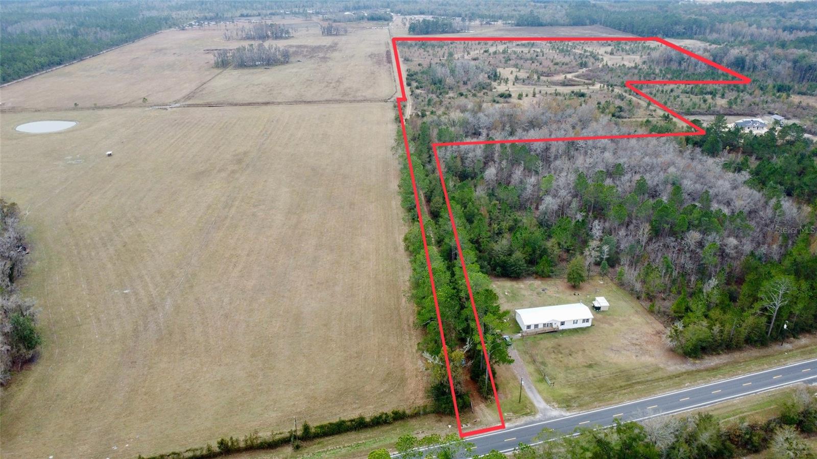
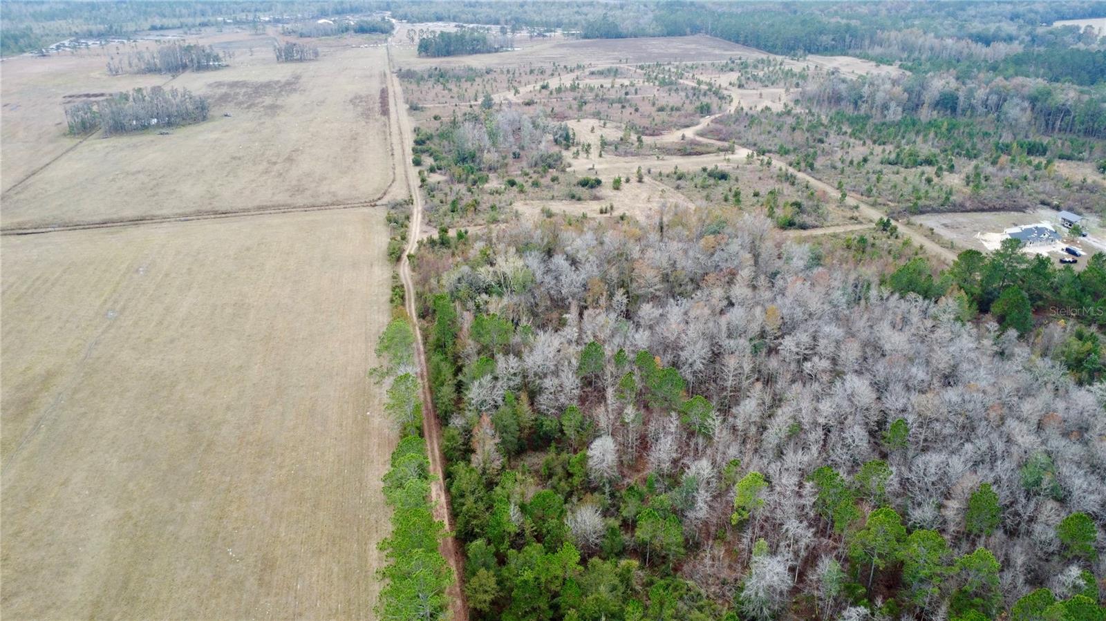
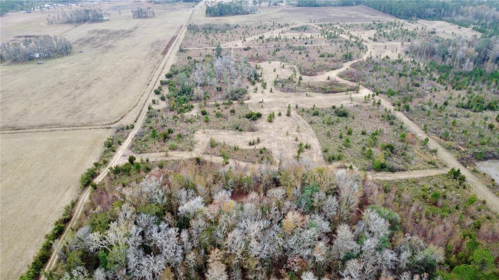
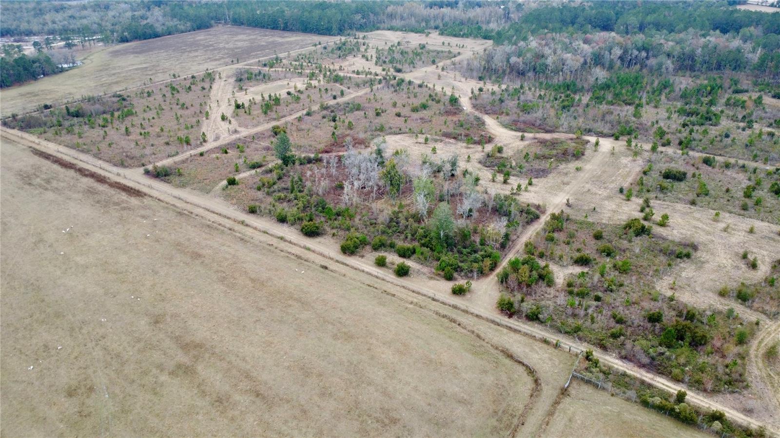
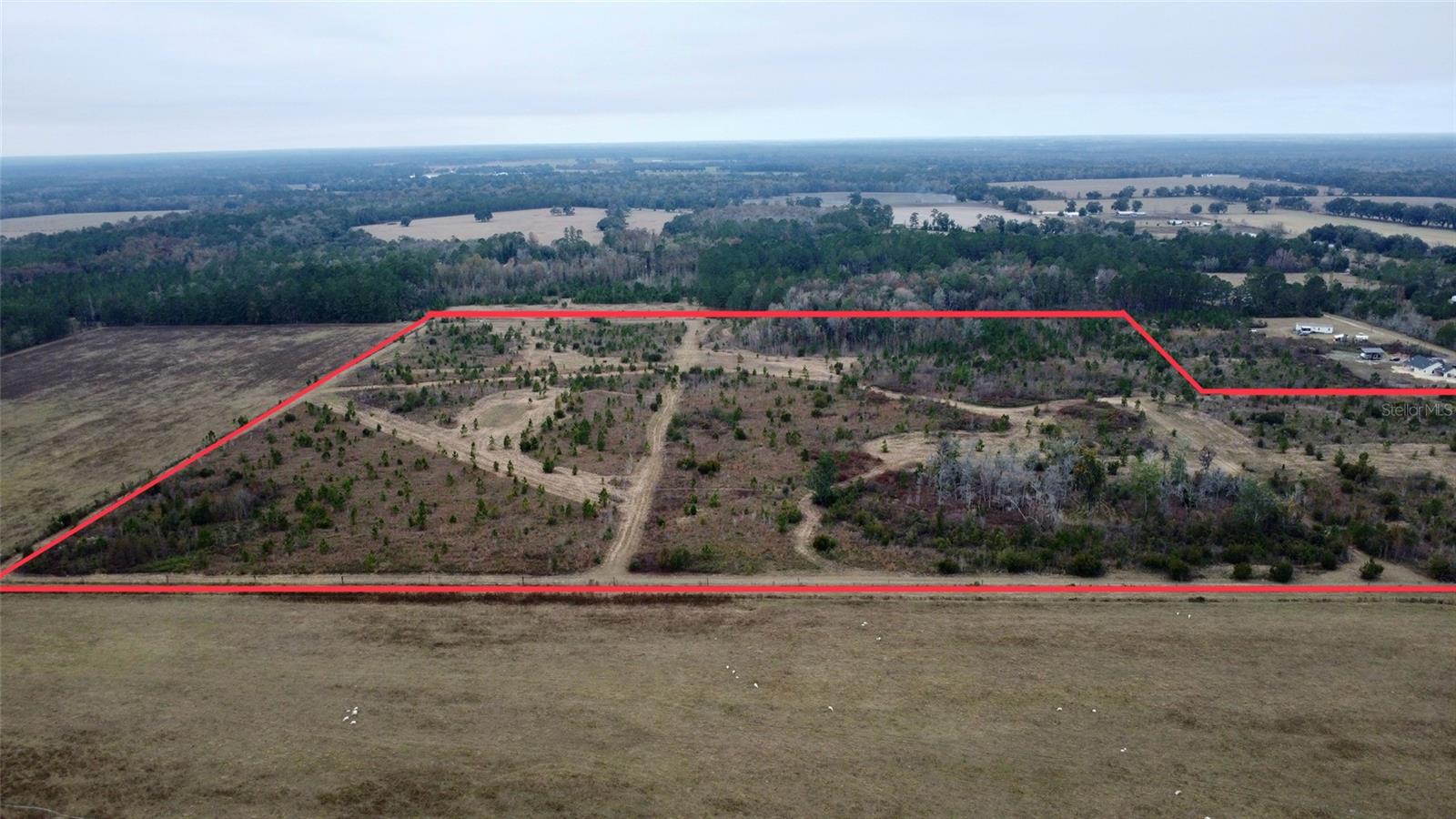
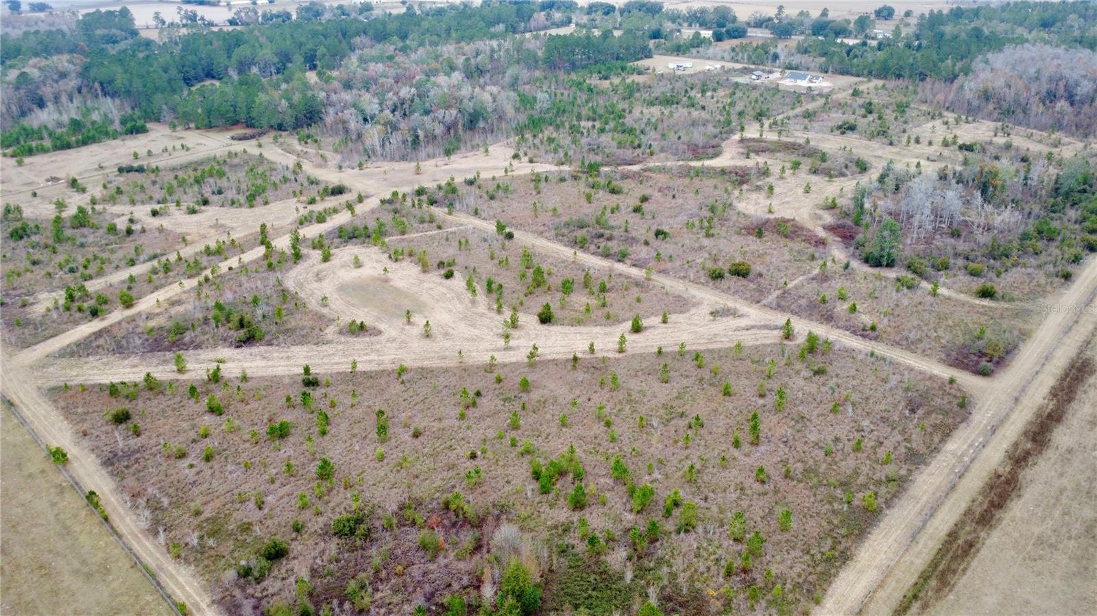
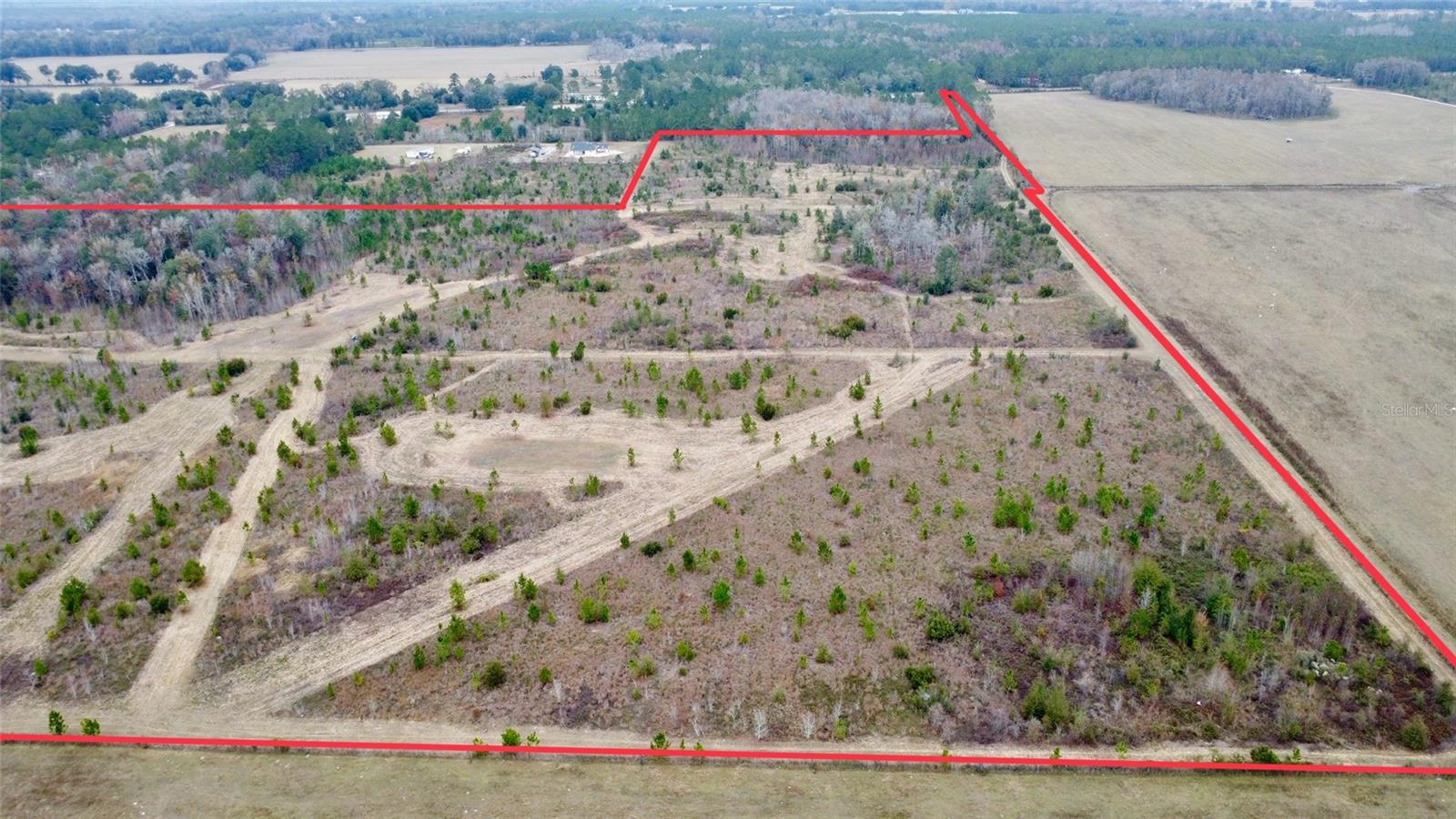
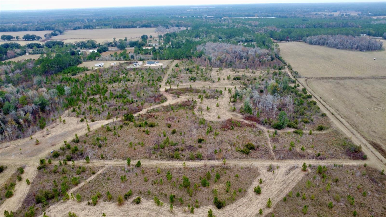
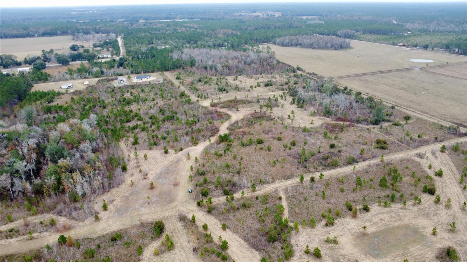
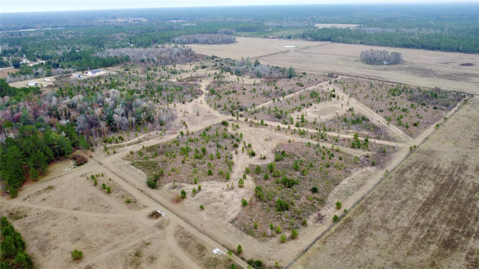
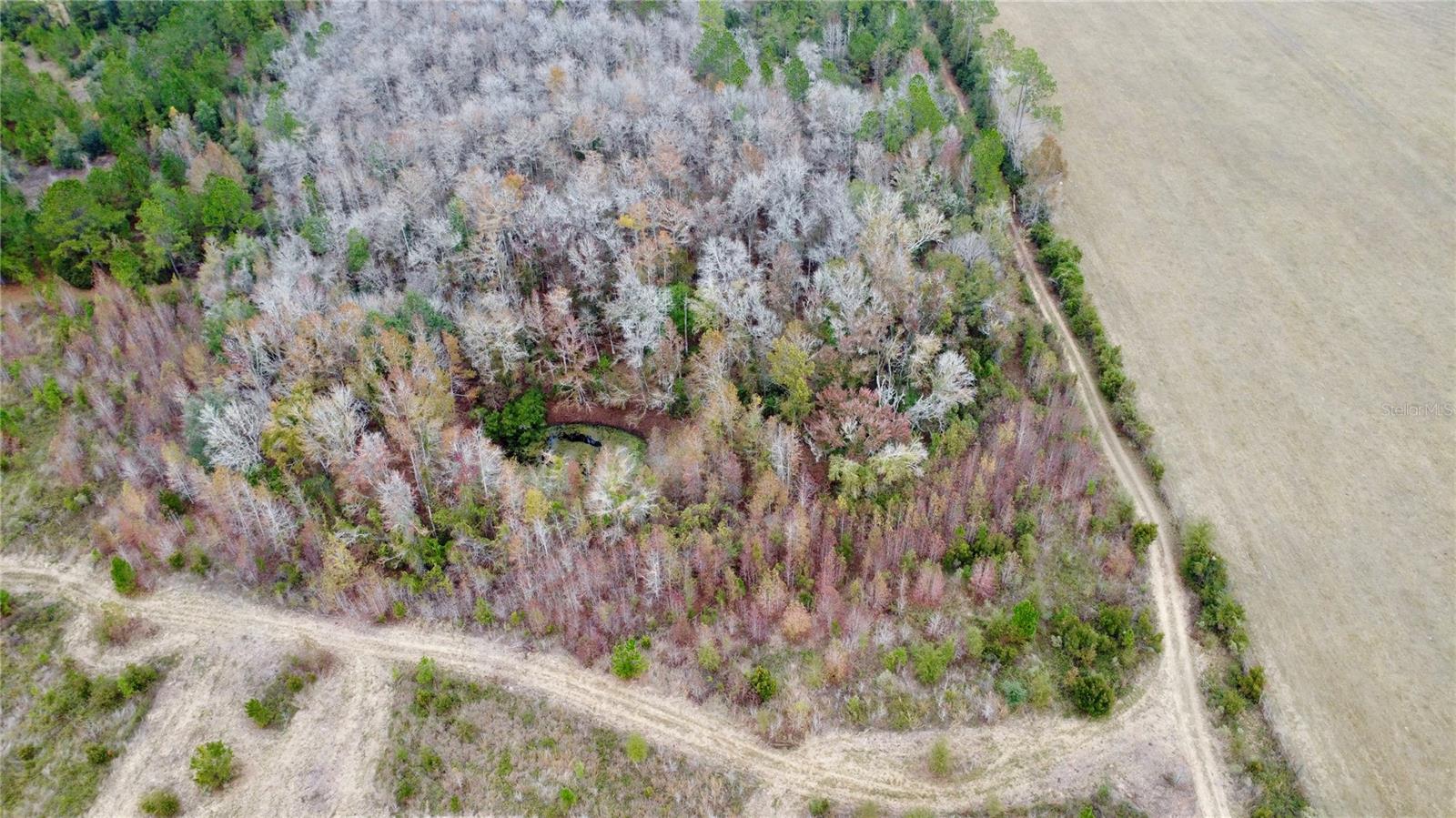
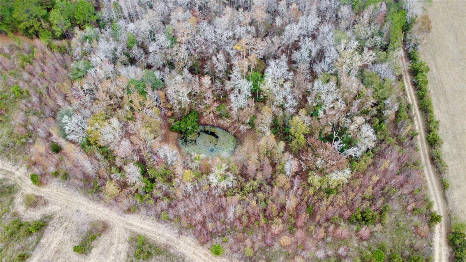
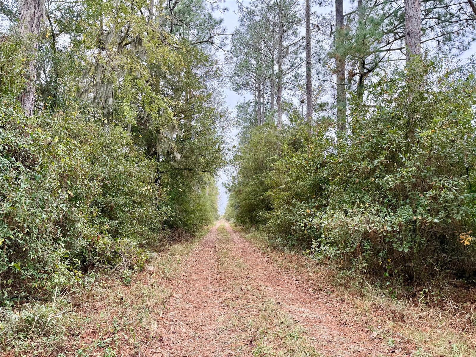
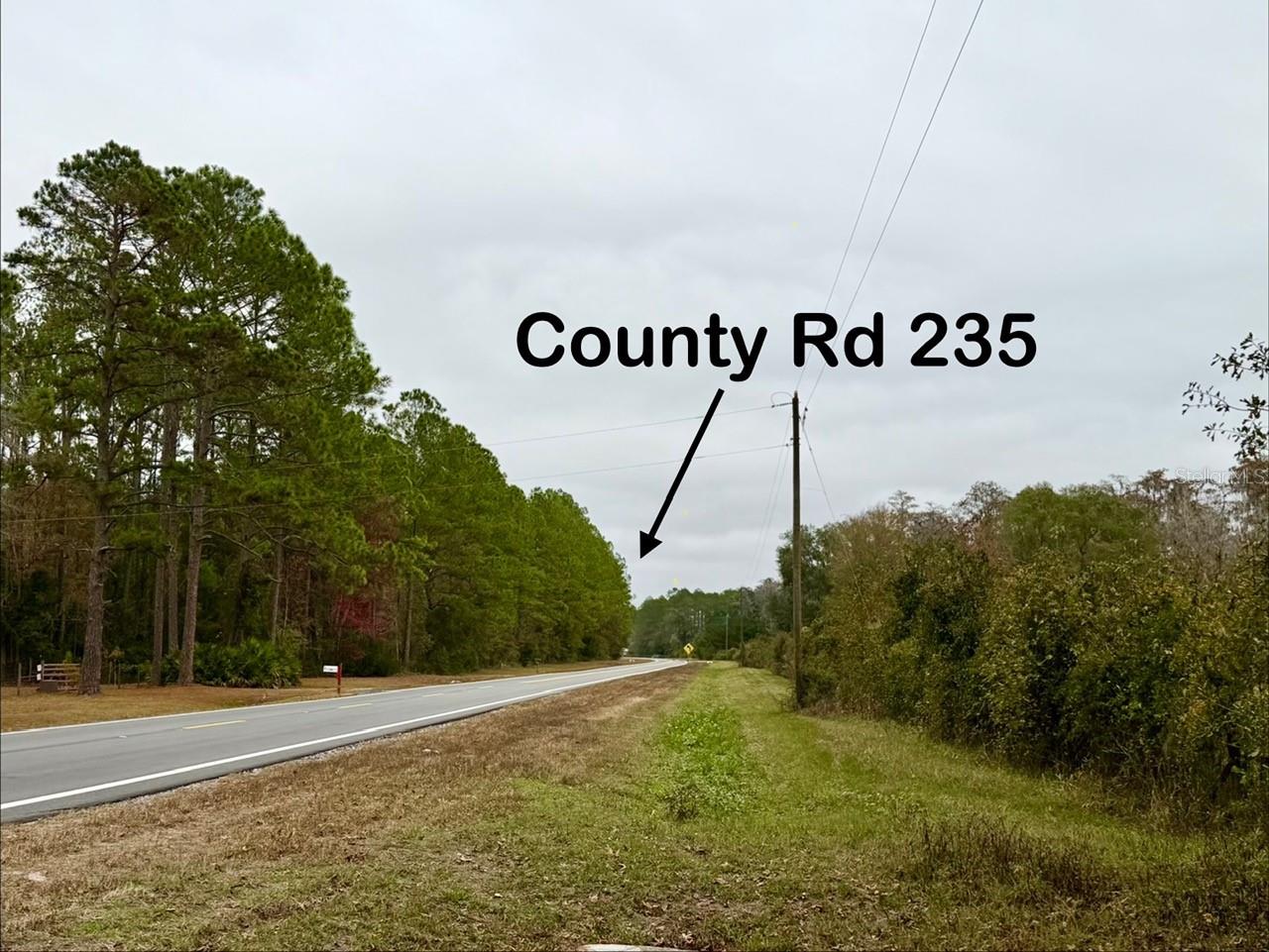
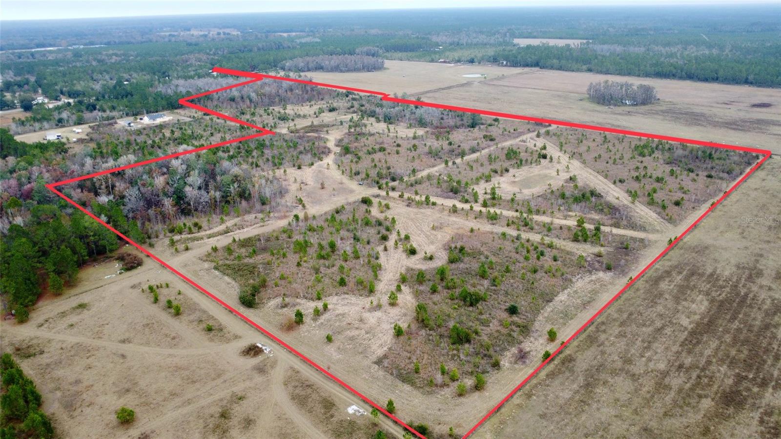
DescriptionLooking for vacant land in North Florida? Here are 48.5 acres of land in Bradford county, north of Brooker & south of Starke with potential to be whatever you want it be! Right off of a paved County Rd 235, so its is an easy commute, but also out away from the hustle and bustle of busy city life. Whether you are looking for land to cultivate for farming, livestock or a family business, plant pine trees, hunt or have a homestead with plenty of space around you, this property could be a great find for you! Only 15 minutes to downtown Starke or Lake Butler, 30 minutes to Gainesville or an hour to Jacksonville! Call today for more info on this property and how to make it yours!
Payment Calculator
- Principal & Interest -
- Property Tax $
- Home Insurance $
- HOA Fees $
- Monthly -
For a Fast & FREE Mortgage Pre-Approval Apply Now
Features
Building and Construction
- Covered Spaces: 0.00
- Living Area: 0.00
Garage and Parking
- Garage Spaces: 0.00
- Open Parking Spaces: 0.00
Eco-Communities
- Water Source: None
Utilities
- Carport Spaces: 0.00
- Sewer: None
- Utilities: Electrical Nearby
Finance and Tax Information
- Home Owners Association Fee: 0.00
- Insurance Expense: 0.00
- Net Operating Income: 0.00
- Other Expense: 0.00
- Tax Year: 2025
Other Features
- Country: US
- Current Use: Unimproved
- Legal Description: 34 6S 20 COM AT NW COR OF SEC, THENCE S01*07'45"W 659.10' TO SW COR OF N 20 ACRES OF NW1/4 OF NW1/4 FOR POB. N87*54'20"E 1328.05', S00*24'26"W 667' S00*23'46"W 581.05' TO NE COR OF S 23 ACRES OF SW1/4 OF NW1/4, S89*26'40"W 1341.74', N01*03'59"E 563.6 3', THENCE N01*07'45"E 649.08' TO POB. BEING 37.68 ACRES M/L
- Area Major: 99999 - Unknown
- Parcel Number: 00213-0-00000
- Zoning Code: AG-1